In Brief:
-
-
- A large, high-grade scheelite tungsten skarn deposit, open to expansion
- Historic project data intact and owned by 18526 Yukon Inc.
- 25 km tractor route to property, 33 km from electrical grid
- NI 43-101 compliant inferred resource of 8.5Mt @ 0.475% WO3 for 4,055,075 MTUs WO3
- A large, high-grade scheelite tungsten skarn deposit, open to expansion
-

Project History
The Risby tungsten project was originally staked by Yukon prospector Pete Risby in 1968 as the "Cab" claims. Exploration work and drilling in the 1970s and early 1980s established the presence of a high-grade tungsten deposit (Pre NI 43-101 resource of 2.7 Mt @ 0.81% WO3) and the formation of the Risby Tungsten Company, which in 1981 merged to become Imperial Metals Corp. During the exploration downturn of the early 1980s, the project was abandoned.
Risby was re-staked by Ron Berdahl in 1994, and optioned in the mid 2000s to Playfair Mining, who performed additional drilling and expanded the resource to 8.5 Mt @ 0.475% WO3 using a 0.2% cut-off. In 2016, 18526 Yukon Inc. re-acquired 100% of Risby and the Clea tungsten deposits from Playfair.
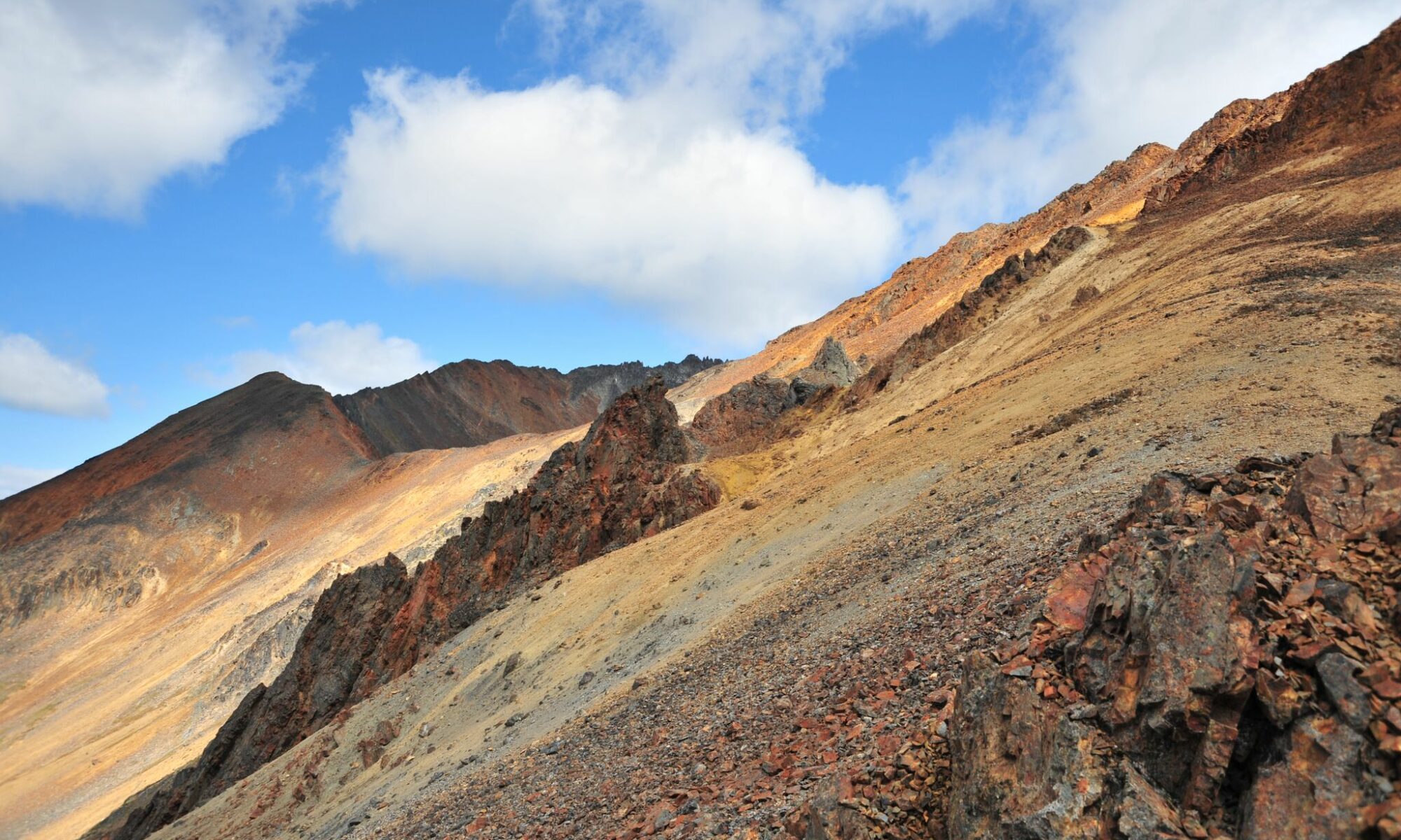
Geology & Mineralization

Risby is hosted in lower Paleozoic sedimentary rocks of the Cassiar terrane, adjacent to a Cretaceous intrusion of biotite-quartz monzonite. Alteration from the intrusion produced a tungsten-bearing scheelite skarn which hosts the deposit. Mineralization occurs as two scheelite-rich skarn horizons that parallel the intrusive contact. Lesser amounts of molybdenum and copper minerals have also been encountered in drilling. The Risby deposit remains open in multiple directions, with additional prospects (like 18526 Yukon Inc.'s Eva project) nearby.
Infrastructure
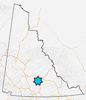
A historic, 25-km winter tractor road stretches from Risby to the South Canol Highway, and was used in the 1970s to drill the project. Risby is situated some 50 kilometers west of the community of Ross River, and 33 kilometers from the high-voltage transmission lines that parallel the Robert Campbell Highway.
For more information on the Risby project please contact us.